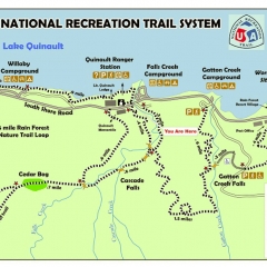
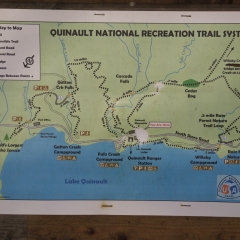
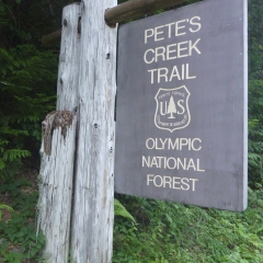
Because we stopped short of Olympic National Forest, we had to finish the drive up to Quinault first thing in the morning. The first stop was a the USFS / NPS Recreation Information building where we got a map of the immediate area (not so much Olympic National Park as a whole) and some recommendations. I think we told the ranger there we were looking for about 10 miles worth of hikes for the day and she recommended we try climbing Colonel Bob which is a mountain in the National Forrest.
We decided to take that part of her advice, but we mostly ignored the part where she told us to do that first and then do the shorter hikes if we were still up for it. This was mainly because we were already near many of the shorter hikes while the Colonel Bob hike involved driving 20+ minutes or so back the way we had come in and would be leaving at the end of the day.
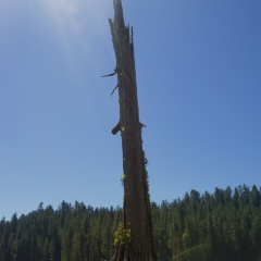
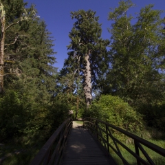
I think our first hike was the quarter mile walk down to the worlds largest sitka spruce tree, mainly because it was there and we were there so it seemed like we aught go see it.
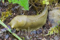
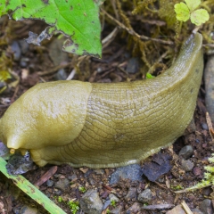
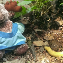
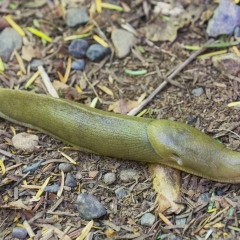
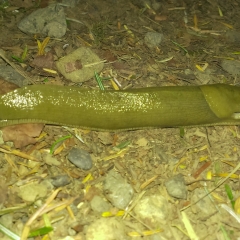
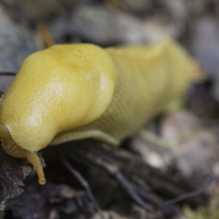
Second hike was on of the small loops near the ranger station – I think out to Cascade Falls. The falls in this case were overshadowed by the abundance of banana slugs along the trail, which were kind of a theme of the area a source of great entertainment.
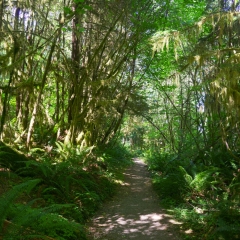
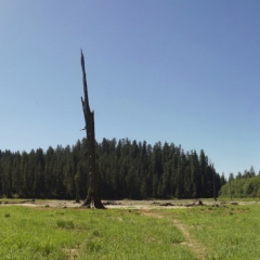
Third hike was a 1.1 mile trail out to Irely Lake with about 5-600ft elevation change. I guess we should have clarified at the ranger station before going, but Irely Lake was not really a lake so much as a site where a lake once was. I think this was a relatively recent development as the entire area was in it’s driest year on record for the last 100 years. This also had a big impact on the rain forest hikes, which were unseasonably dry – nice for hiking, not so nice for matching the rain forest expectation of the area.
After Irely Lake we made our way back out of Quinault and headed back toward Aberdeen to find the highly entertaining Donkey Creek Rd. which would take us to the back route up Colonel Bob.
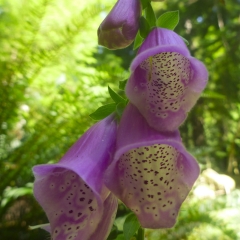
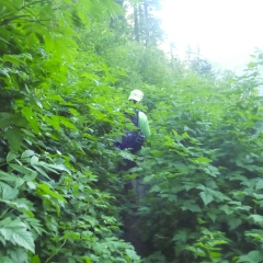
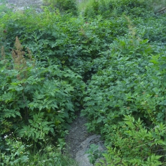
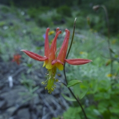
There are two routes up Colonel Bob – the longer route was a 14 mile round trip and left from Quinault. The route we took was an 8 mile round trip. I’m guessing both covered very similar vertical since I don’t think we were driving up a lot of hills when driving from Quinault to the trail head. As is typical for the area, the trail covered a broad range of landscapes from (dry) rain forest through the more shrub lands and into the mostly bare, rocky mountain landscapes. The middle portion of the trail was very overgrown at some points, which was a bit unnerving when the trail was about 1 foot wide and we couldn’t see our feet.
There was a moment of concern when we came across the point where the ‘front’ trail must have met our trail. There were some trail markers in the area (bits of ribbon on trees) but not enough to definitively know which way to turn. It seemed that it made most sense to continue on the path that seemed to be ascending, so that’s what we did. We really should have had a GPS (phones w/o preloaded maps didn’t do much good) or at the very least a more detailed map, because it could have been somewhat easy to lose the trail coming back as well.
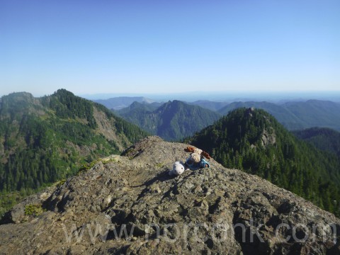
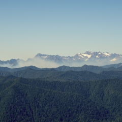
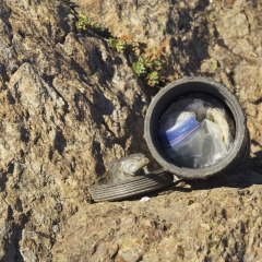
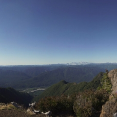
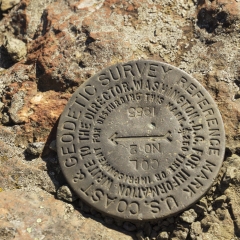
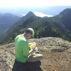
We chose correctly and were rewarded at the top of Colonel Bob with a gorgeous view and a geocache… oh, and flying ants. We started up the trail just before 2:00 in the afternoon, the ascent took about 3 hours and the descent almost as long since we were stopping to take pictures more often getting us back to the car just before 8:30.
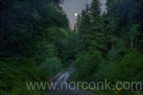
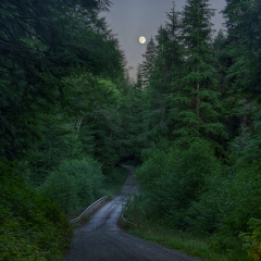
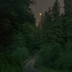
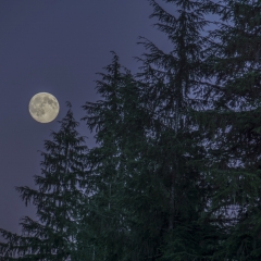
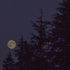
The timing was just right for catching a glimpse of the full moon through the spruce trees over the dirt road on the back to Aberdeen. Of course, this resulted in bringing the car to a skidding halt, jumping out and standing in the road playing photographer for half an hour. Fortunately, there were only two other people hiking Colonel Bob after us and they did not run me over.
We were tired and not interested in driving a few extra hours to the other side of Olympic National Park, so we returned to the hotel in Aberdeen for pizza and beers.


