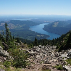
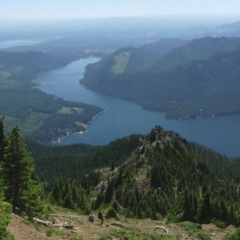
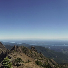
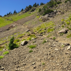
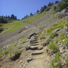
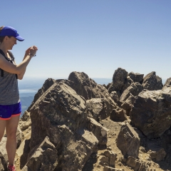
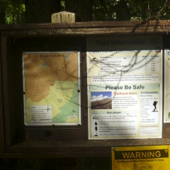
We actually got up early and left Aberdeen right around 7AM headed for the Mt. Ellinor trail head which we reached around 9:00. I think there were two trail heads for Mt. Elinore and we were heading for the upper, which involved many miles of bumpy dirt road to access. I have some philosophical thing against hiking past a trail head further in or up since it seems like an intentional deoptimization of the hike.
The upper trail was a 3.2 mile round trip with 2444′ of elevation gain. We weren’t really carefully tracking elevation or trail distance, but we had made notes and looking back when writing I found it interesting to calculate the elevation ratios. This one was a 3.46 to 1 ratio, which was notably steeper than the other climbs.
We knew there was a chance of seeing mountain goats, so we were asking people on the way up, (actually, Janet was asking people, I don’t talk to random strangers in the woods.) and the information was that there was one juvenile just over the peak.
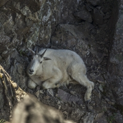
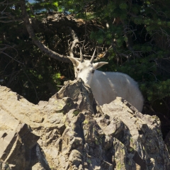
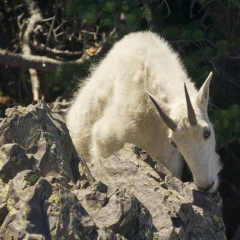
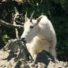
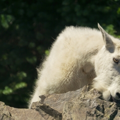
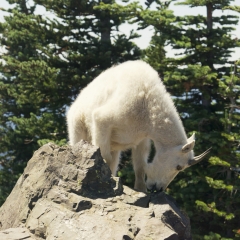
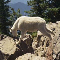
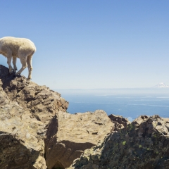
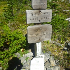
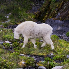
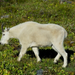
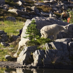
When we got to top he was still there, nestled into a recess on the back side of the mountain, so we got to bag our first mountain goat sighting. But then we hung around enough and he decided that we weren’t dangerous enough to prevent coming to the summit, so he did just that. We stayed out of his way and let him stroll about licking the rocks for minerals just like the signs said they would.
I think we got back to the Mt. Ellinor trail head around 1:00. The intention at that point was to go to either Mt. Townsend or Lake of the Angels. I’m not exactly sure what made the decision, but I think it was simply that Lake of the Angels was closer.
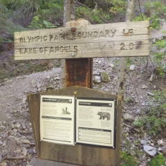
The Lake of the Angels hike is a 7.4 mile round trip with 3358′ of elevation gain, ratio: 5.82 to 1 which, while not as steep as Mt. Ellinor was still notably steeper than our average hike. We had packed full backpacking equipment in hopes of doing at least one overnight, so once we got to the trail head it was time to load up real packs for the ascent. That took a little time and I think we headed up right around 5:00.
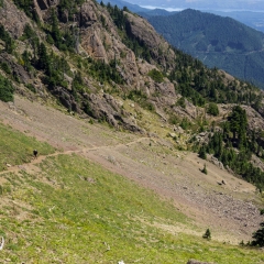
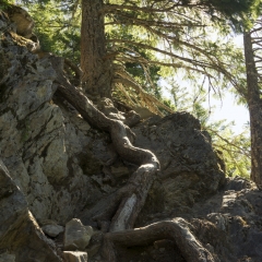
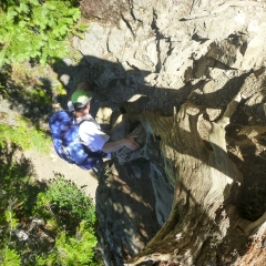
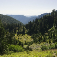
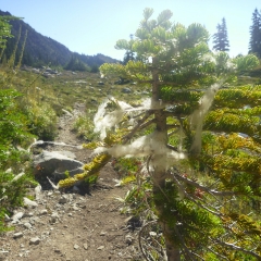
[Not a valid template] [Not a valid template]The first half of the trail was through forest at a moderate incline and then around the 1.7 mile mark we turned to go more directly uphill for a portion of the trail that was very steep and had a lot of loose gravelly terrain. There was one section which was a close to vertical climb over some tree roots. Both aspects were, as they tend to be, more challenging coming down with the propensity to slide a lot and at the cost of one water bottle clattering down the mountain while we were handing packs down the vertical portion.
All in all, it was a pretty strenuous hike with full overnight gear and on top of the morning’s hike, and we were both pretty burned out by the time we found the top. We had a moment where we wondered if we were at Lake of the Angels, but it didn’t seem to match the grandness of the description so we, with slight doubts kept going. This is again where a more detailed map or GPS would have been good to have. We later found out that the lower lake is referred to as the Lake of the False Prophet for exactly that reason.
[Not a valid template]At one point, after completing most of the remaining climb to LotA, I decided that we aught be sure we were heading the right direction before continuing to haul all our crap uphill, so I left my backpack and trotted ahead to confirm the trail. It was the right trail and I popped up at the end of the lake, saw two other hikers having dinner, waved to them and ran away. It was really only another 10 minutes or so down the trail, so we arrived for the night shortly thereafter.
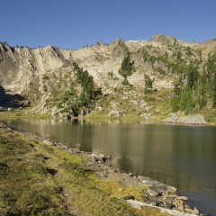
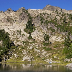
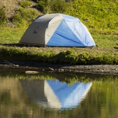
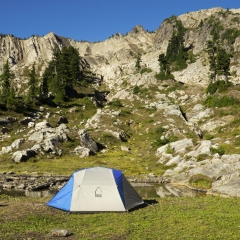
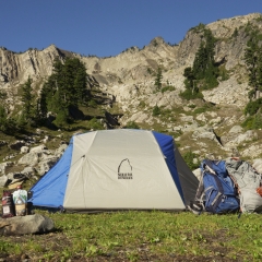
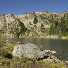
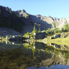
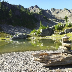
The real Lake of the Angels was indeed far more glorious, and easily made for the most impressive campsite that I’ve ever partaken of. There were four other people there when we arrived and then late at night we saw two more people come over a ridge but they must have had cam elsewhere.
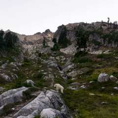
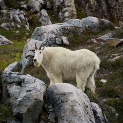
We got to the lake just in time to make camp, filter more water and make dinner before it got dark for the night. (We should have gotten a half hour to hour earlier start and started with two bottles of water each, because we didn’t really have enough water and we didn’t really have time to stop even though there were a few streams to get more.) While making dinner, we were visited by our second mountain goat of the day, but we were a bit less mobile than before and had to shoo this one away from our dinner spot. Dinner was oatmeal (because we already had it and it’s just so easy to pack) topped off with the dehydrated ice cream from the most recent Cairn Box.
We hung our food and toiletries bag as best we could given the somewhat lacking trees. I’m not sure if there was any real concern of bears in the area, but it was the recommended handling. The goat definitely came back and night and we heard it snuffling all around the tent and camp area. I was a bit worried that it might eat our shoes, since all the warnings were about them wanting to lick and nibble people for the salt.
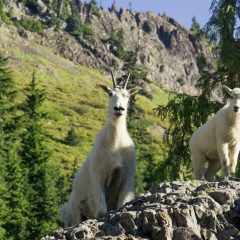
Morning arrived, boots still intact, and we had a leisurely breakfast and breaking down camp. Over the course of the morning more goats showed up (five total I think) and wandered around, distracting us from being expeditious with our departure. We had only planned on the one night, so we were packed up and heading down the mountain around 10:00 and got back to the trail head around 1:00.
We didn’t have any specific destination for the evening and were half toying with the idea of doing Mt. Townsend the next night, but ended up just loitering around the creek at the trail head for a few hours drinking beers. Mt. Townsend looked to be an amazing hike as well, we probably could have done it, and maybe should have done it, but we suspected that our legs didn’t want to backpack up another mountain and it would have been a trade off against seeing Mt. Rainier.
Picture warning – I was a bit obsessed with mountain goats…


