Despite avoiding the weather the evening before, day three was the real day of questionable weather. Having been to the park a few times before, and wanting to explore something new, we took a drive to the Eastern end of the park to hike up Mt. Cammerer. I think we were a bit guided by the theory that it was going to be the drier side of the park.
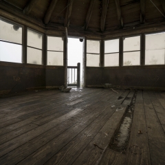
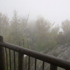
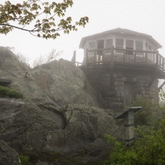
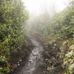
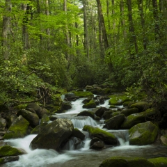
The East side of the park may have been drier, but it was not dry. The hike starts heading up through a campground and then along the river. For the first mile or so it was dry, but then it started to rain lightly and more or less kept on dripping until we were maybe a mile form the peak. At the top, we were reminded that the visibility from within a cloud is very limited, so whatever view we might have been hiking to was to remain a mystery. On the up side, there is a mostly whole fire watch station at the top, so we had a chance to sit down, dry out a bit and wait for the rain to pass.
At the start, we were kind of hiking along with a few other groups. We sat around at the top for a while and I think one couple made it, but the quad did not. I wasn’t terribly surprised at the latter – one, their leader seemed to have much more experience and motivation than the other three, but also, their progress might have been hindered by some bad decision making. Shortly before breaking away from them, they were intending to attempt crossing the the river (wet feet 1/4-1/2 mile into the hike wouldn’t be fun) when a bit of reading the trail description and additional exploration revealed a bridge heavy enough to take a small vehicle across no more than 100 yards upriver.
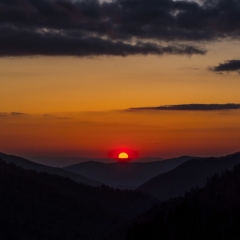
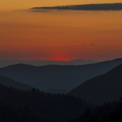
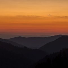
Being on the other end of the park, getting there and back did take some time – accounting for coffee stops both ways. We got back to the Gatlinburg side of the park, driving through some more of the burned area, this time in town, just prior to sunset. We drove up into the mountains to Morton Overlook for viewing & pictures.


