Thursday 05/17/18
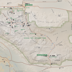
We planned to spend two days in Joshua Tree, but we didn’t know a lot about the park, so the first order of business on Thursday was stopping at the visitor center (very upper left of the map above) to get some maps, figure out what campgrounds were likely to have spaces and figure out what areas were most interesting to hike. You can somewhat see that Joshua Tree is a sizeable park with the concentration of roads, campgrounds and attractions in the Northwest corner. We entered from the Northwest and kind of drove through the most popular areas just checking out campgrounds.
[Not a valid template]The ranger pointed us in the direction of Jumbo Rocks campground and then further on to Belle and White Tank, the latter two being campgrounds that did not take reservations and which were thus likely to have open spots. We drove through both and then circled back to Jumbo Rocks where we found a site to our liking (it was a pretty fantastic site) and set up camp. We could have saved some time by poking around Jumbo Rocks first, but we were of the impression that sites were going to be in short supply and that we’d need to find something quick so our first stop at the more distant sites seemed to be playing the odds. Turns out, Joshua Tree was not nearly as busy as Grand Canyon and there were probably open sites in all the park’s campgrounds.
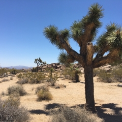
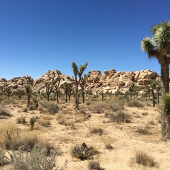
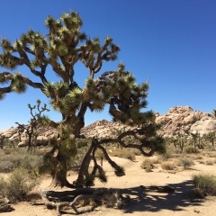
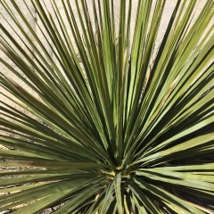
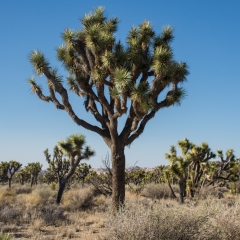
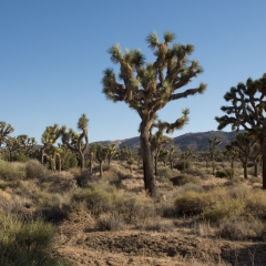
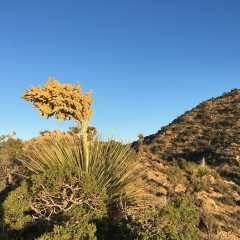
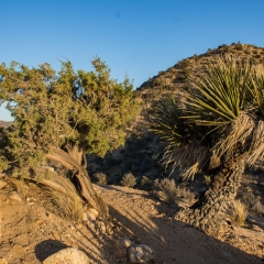
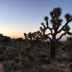
Joshua Tree definitely has a unique feel to it. The Joshua trees aren’t only found in the park (we drove through some significant expanses elsewhere) but they’re definitely there in a much higher density than anywhere else. Side note – Joshua trees are not actual trees, they are a large variety of yucca. Their trunks are fibrous and they split when the bloom after the end of a branch sustains frost damage. https://www.nps.gov/jotr/learn/nature/jtrees.htm
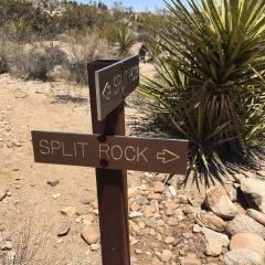
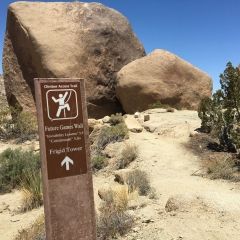
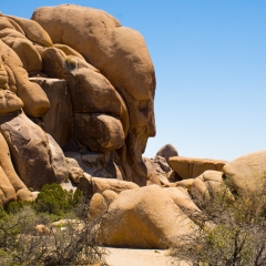
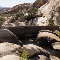
The park does not have the length hikes of some of the other parts, so we did some wandering. Split Rock trail was close to the campground, so we stopped there first. Face Rock and Skull Rock were a couple of the features on or near the trail. Barker Dam was one of the larger areas of the park, so we wandered around there a while, and I had a chance to climb some rocks (noting my dislike of heights, climbing for me just means scrambling upward).
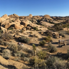
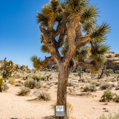
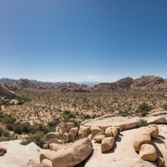
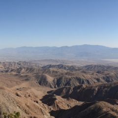
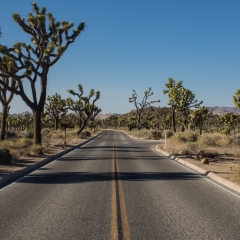
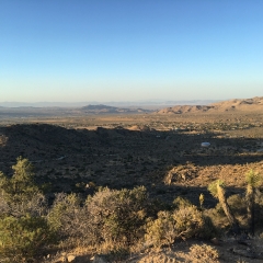
Mid-late afternoon, we drove down to Keys View, which was a kind of a bust (midday haze obscured a lot of it). Our last destination was Black Rock Campground on the western arm side of the park to hike the High View Trail right at Sunset. It was kind of meandering drive back through the park – stopping a lot for pictures. We kept trying to find “the” Joshua tree, but we were also looking to get a picture that captured the park. This proved to be difficult – kind of like trying to show a forest by taking pictures of trees. In the end, a few pictures taken just off the road while driving through the park and a few of the shots from near Barker Dam came the closest.
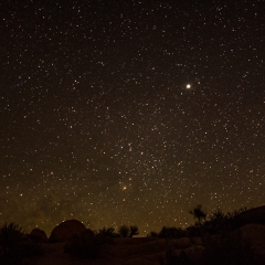
We splurged on pizza again as we were driving back through town (Janet doesn’t understand the meaning of $7.99 pizza, so it ended up being $12) which we took back to camp to eat under the stars. I tried a few night pictures with some level of success, but I think I wasn’t looking in quite the right direction for the milky way.


