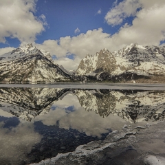
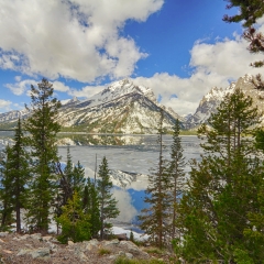
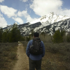
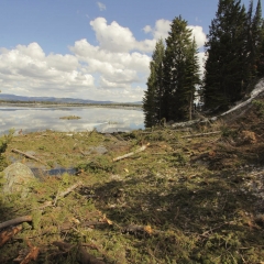
Day two’s Teton destination was Hidden Falls. We got a little later start because we had to pack up the tent and move out of camp. It was a clearer day, so we swung by the Jenny Lake scenic drive for some more pictures (and to let it warm up for the hike, because the morning was apparently 32 degrees when we got up). After another stop at the ranger station to double check that we were making the best decision on which hikes to pick, we headed out to the falls. We met up with a guy named Casey from San Francisco and hiked out to the falls with him.
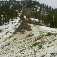
Without realizing it, we took the “horse road” to the falls, which was a path (when we could actually see the ground) along the side of the mountain. This must have been, by far, the less traveled path to the falls because there were no footprints for the most part. We crossed at least one avalanche path where all the trees had been blasted down the side of the mountain. We crossed a second steep area which, though it didn’t have signs of an avalanche (maybe because there were no trees there) seemed steeper and was quite possibly a little dangerous to cross. Casey seemed to trust that we knew where we were going… questionable decision making on his part.
[Not a valid template]Somewhere in between those points, a snow storm blew through. We just waited it out briefly.
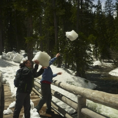
The trail disappeared near the end and we debated descending to the path along the lake. I insisted that there were three bridges across the river, and that we should continue on just a little ways. Lucky guess – we found the river right near the second bridge. The third bridge – furthest from the lake, closest to the falls – was under construction by a park crew.
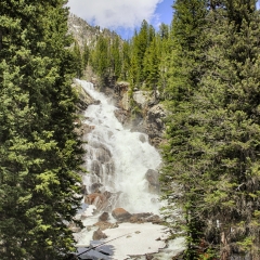
The falls were huge, and thanks to the spring thaw, running impressively.
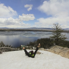
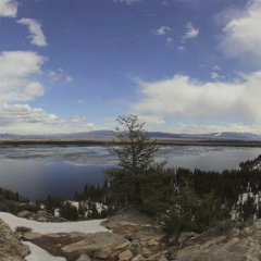
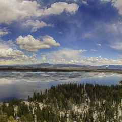
[Not a valid template]We hiked up and around the falls for a while before continuing on the loop toward the boat dock. Janet and I decided to hike up to inspiration point, while KC took the lower trail back toward the visitor center. The trail to inspiration point was not especially apparent – we could sometimes see the terrace that had been built up when standing below it, but sometimes we were just guessing and climbing up. We did make it, and it truly is an amazing view from the top at 7200 ft. As far as we could tell, we were the only ones who made it that far that day with the exception of a man on snowshoes who was looking for the entrance into the Canyon, presumably to camp there for the night.
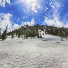
On the return it took us a bit to find the trail back (which we should have expected, because when we arrived, there were hikers below us trying to decide if we knew where we were). We ended up too high, which was a bit scary because we were on snow on a boulder field, so it was easy to find surprise pockets under rocks where you’d punch through to the waits. After making a bit of progress in the right direction we sledded down the hill to find the lower trail along the lake shore. This one was more traveled, and with lower chance of punching through the snow to our waists.
We arrived back at the trail head about 6 hours after we started, so it was a good day. Most of this could have been completely bypassed by taking the ferry a few weeks later once the lake thawed. The hike was awesome, and I probably would have wanted to hike it even if the ferry was running, but I prefer to do it this way. To me it makes a hike less fun (seems less remote) if you know you’re doing it just to meet up with a closer access point – kind of like parking in the far lot and hiking through the near lot just to extend the trip.
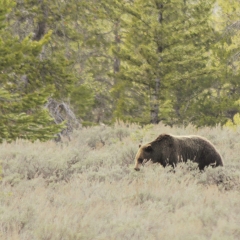
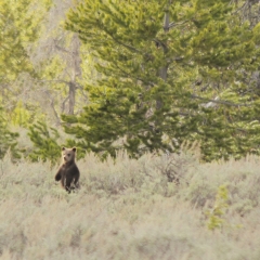
On the way out of the Tetons we saw a parking lot packet with people and large lenses. We pulled in to find that there was a grizzly and cub out in the field. We watched her for a while until she wandered back into the trees.
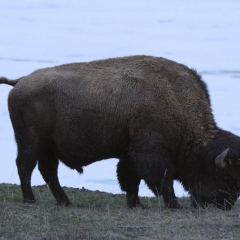
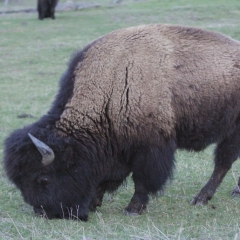
Our drive out took us North through Yellowstone and then out the Eastern boundary to the town of Cody, Wyoming where we stayed at the Big Bear Motel. We did see our first bison on the way.


